
Reliable, broad-scale Sentinel-2 imagery in FarmQA helps you monitor crop conditions, track seasonal trends, prioritize scouting, and make informed decisions across every field you manage.
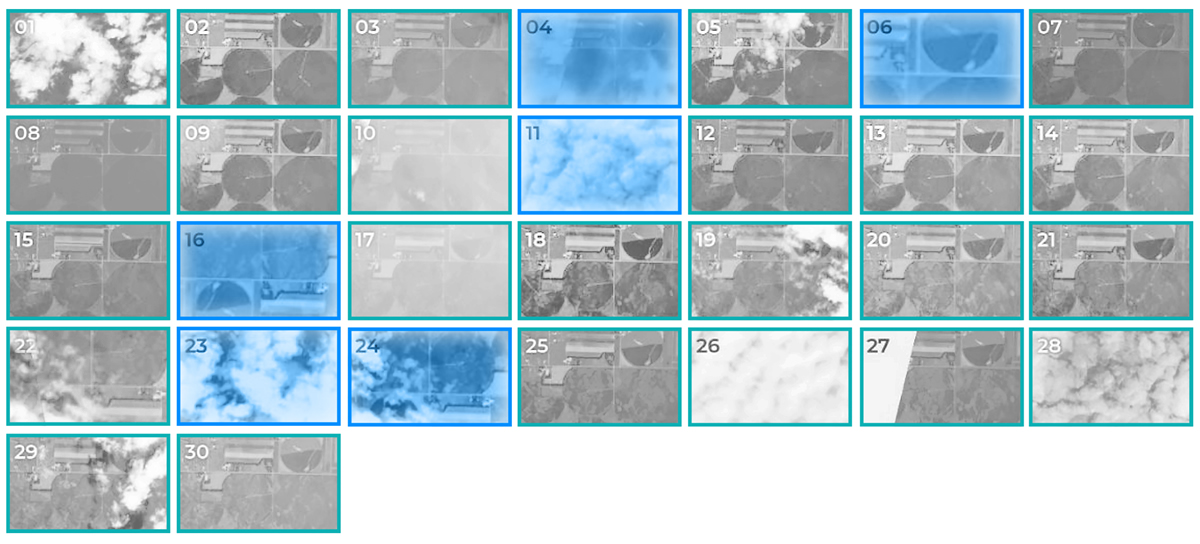
Monitor field-scale patterns and variability.
Get consistent views throughout the growing season.
Compare seasons and identify recurring patterns.
Sentinel-2 gives you two things at once: enough spatial detail to see meaningful variability, and a revisit schedule reliable enough to track it as the season moves. At 10m resolution, you can identify broader patterns and areas of variability across a field, even when you’re managing hundreds or thousands of acres. Sentinel-2 revisits your fields approximately every 5 to 7 days, giving you a fresh look often enough to follow crop development without needing a near-daily feed on every acre. Cloud cover and other conditions can affect how many usable images you get in a given week, but Sentinel’s consistent revisit schedule means you’re rarely without a recent view of how a field is trending.
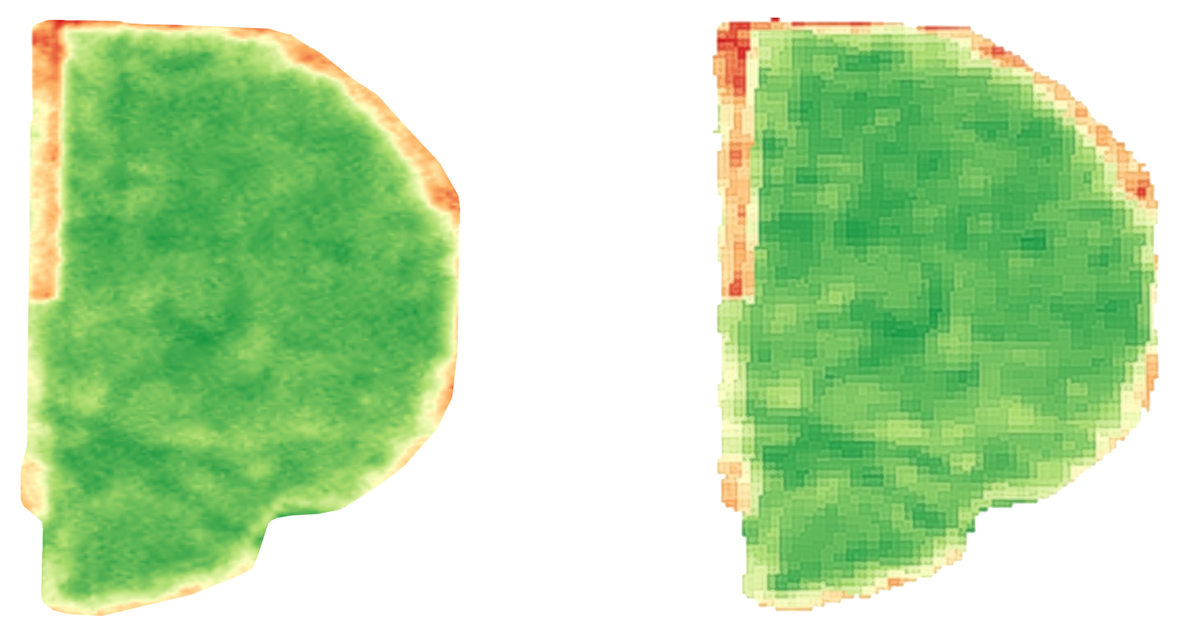
Sentinel gives you more than a view from above. Delivered through FarmQA, it becomes another source of field intelligence you can use to decide where to look, what to investigate, and how fields are changing over time.
QA Advisor automatically processes Sentinel imagery into agronomy-ready views and vegetation indices, helping you evaluate crop development and field variability in different ways. Available views and indices include: NDVI, NDRE, MSAVI, SAVI, Visual, Red Edge. Choose the view that best fits what you’re evaluating, then compare imagery across a field or over time to identify patterns worth investigating.
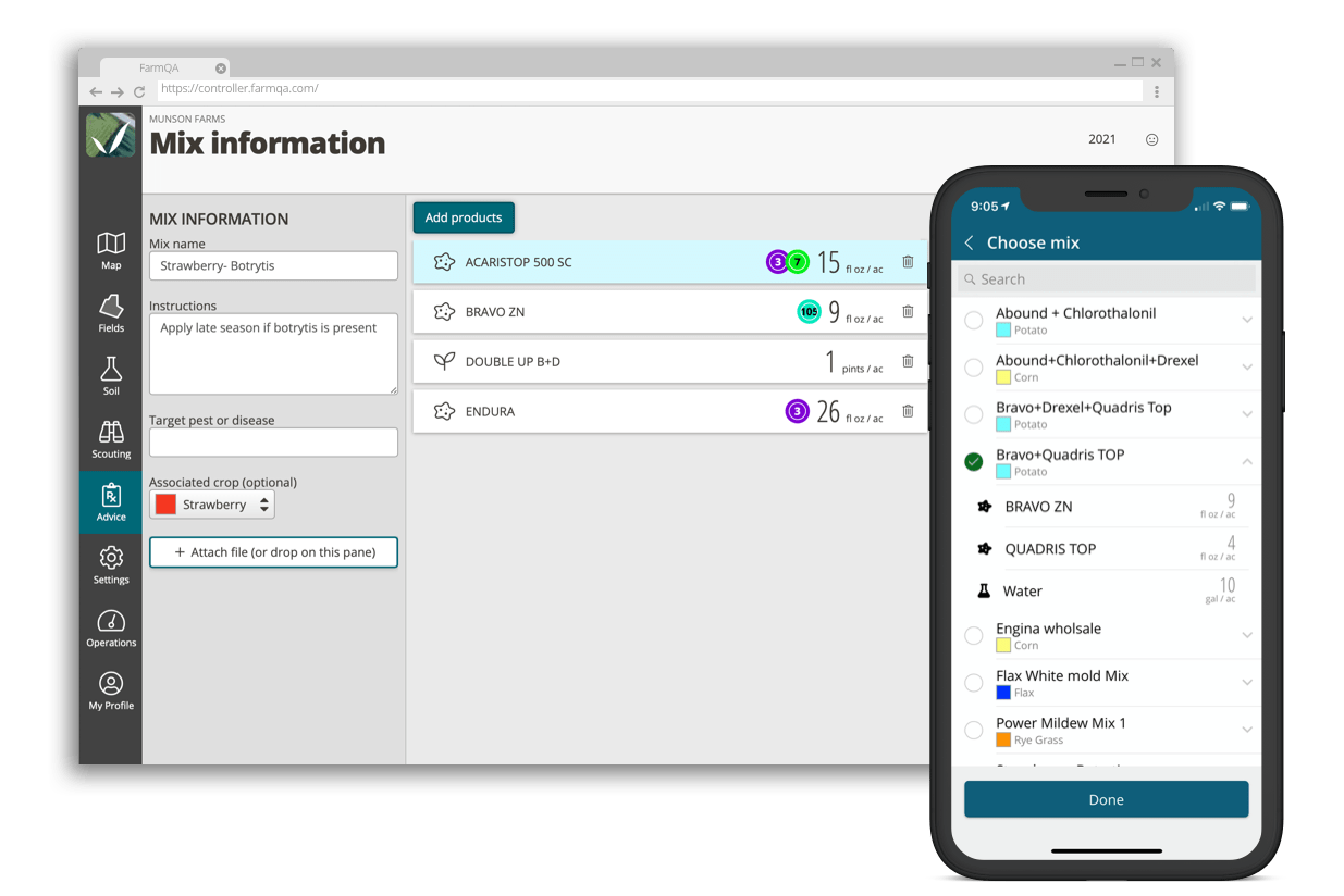
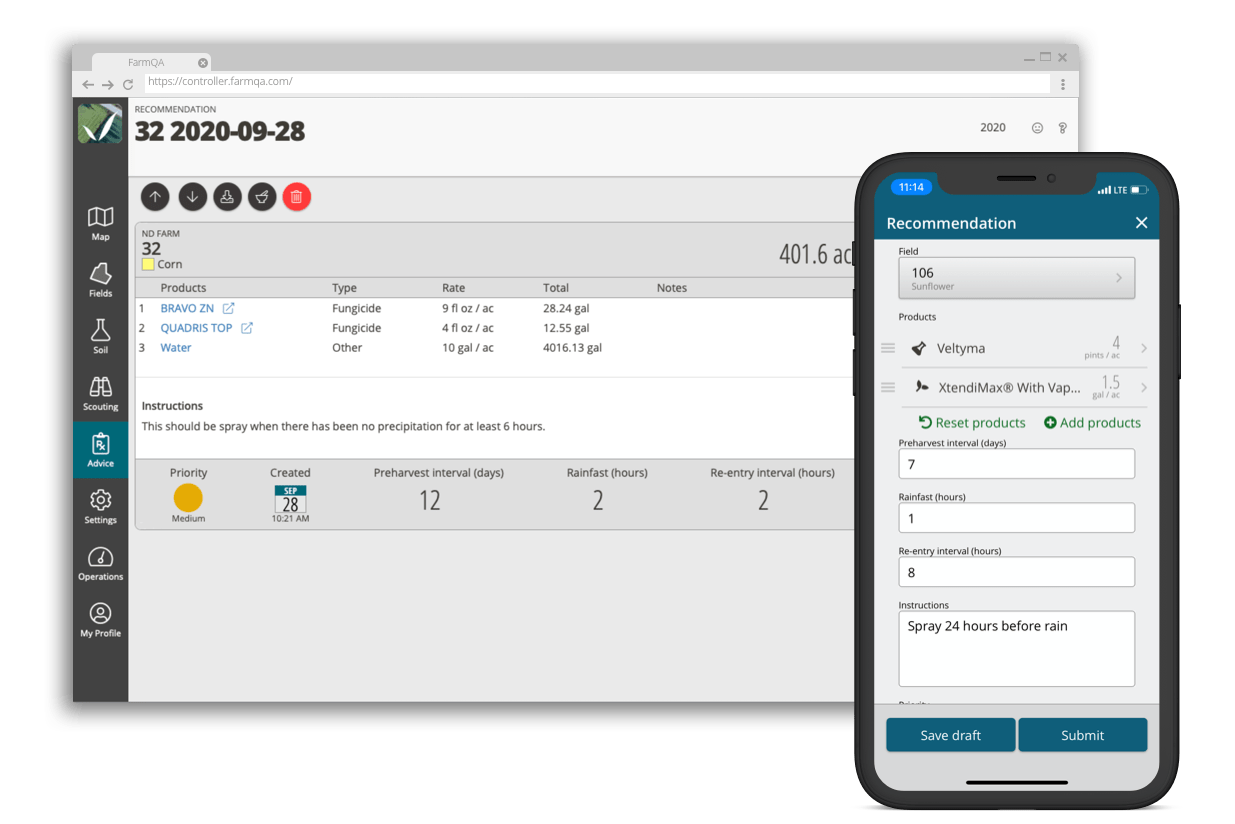
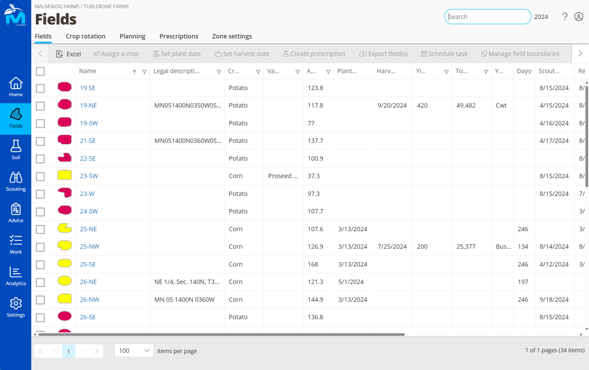
FarmQA brings Sentinel imagery into the same application you use to manage your agronomy work — QA Advisor. Imagery is automatically clipped to your field boundaries and processed into field-level layers, eliminating the need to download, process, and move imagery between separate tools.
The result is a consistent source of field visibility that connects directly to the agronomy work happening on the ground.
Current imagery tells you what’s happening now. Historical imagery can help you understand whether a pattern is new, seasonal, or something that appears year after year. With up to five years of historical Sentinel imagery available, you can compare seasons, identify recurring field patterns, benchmark crop development, and better understand the variability you’re seeing today. Combine imagery with FarmQA Analytics to add another layer of context, including long-term NDVI trend tracking at the field level.
Sentinel is particularly well suited for agronomy programs that want consistent satellite visibility across a large number of acres without requiring higher-resolution, near-daily imagery everywhere.
Need more spatial detail or more frequent imagery for intensive scouting, high-value crops, or variable-rate programs? FarmQA also offers near-daily, 3.5m PlanetScope imagery.
QA Advisor offers one-on-one support for all customers, with extended hours during peak growing season.
See how consistent Sentinel-2 imagery in FarmQA can help you monitor crop development, guide scouting, identify field patterns, and make better-informed agronomic decisions.