
Near-daily, high-resolution satellite imagery in FarmQA gives you a closer look at field variability, so you can spot changes sooner, prioritize scouting, and make more informed in-season decisions.
See more field-level detail.
Get more opportunities to catch change.
Put current conditions in context.
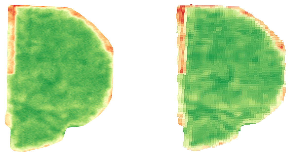
Spatial resolution determines how much detail you can see within a field. PlanetScope imagery provides 3.5m resolution, giving you a more detailed view of crop variability than broader-resolution satellite imagery. That added detail can help reveal smaller areas of variability, making it easier to identify where conditions differ within a field and where a closer look may be warranted.
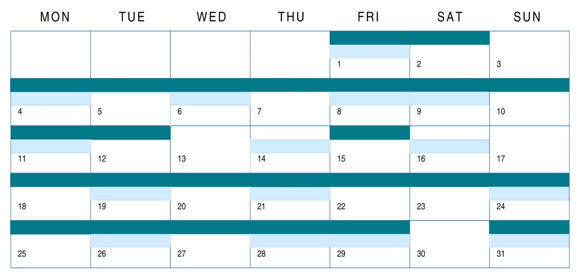
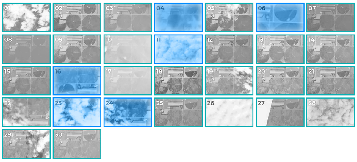
Spatial resolution tells you how closely you can see. Temporal resolution tells you how often you get a fresh look. PlanetScope’s near-daily revisit gives you more opportunities throughout the growing season to see changes as they develop. When crop conditions can change quickly, more frequent imagery can help you identify an area of concern while there’s still time to investigate it. Cloud cover and other conditions can affect the number of usable images, but Planet’s high revisit frequency gives you more opportunities to capture a clear view when timing matters.
Planet isn’t just about getting more satellite images. The combination of higher spatial resolution and near-daily updates gives you another source of field intelligence for deciding where to look, what to investigate, and where management may need to differ.
QA Advisor automatically processes Planet imagery into agronomy-ready views and vegetation indices, so you can look beyond a visual satellite image and evaluate field variability in different ways. Available views and indices include: NDVI, NDRE, MSAVI, SAVI, Visual, Red Edge. Use the view that best fits what you’re evaluating, then compare imagery across the field or over time to identify patterns worth investigating.
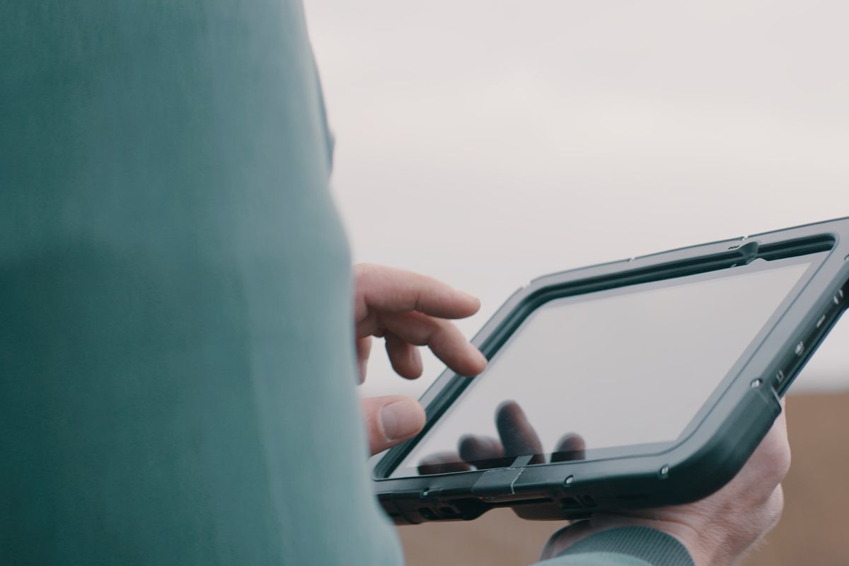
FarmQA brings Planet imagery directly into the same application you use to manage your agronomy work — QA Advisor. Imagery is automatically clipped to your field boundaries and processed into field-level layers, eliminating the need to download, process, and move imagery between separate tools.
The result is more than imagery from above. It’s field intelligence that connects directly to the work happening on the ground.
A single image tells you what’s happening at one point in time. Historical imagery can help you determine whether what you’re seeing is new or part of a recurring field pattern. With up to five years of historical imagery available, you can compare seasons, evaluate crop development over time, and identify patterns that may help explain current field conditions. Combine imagery with FarmQA Analytics to add even more context, including long-term NDVI trend tracking at the field level.

Planet imagery is particularly well suited for agronomy programs where frequent field visibility and greater spatial detail can influence in-season decisions.
Don’t need this level of imagery frequency or resolution across every acre? FarmQA also offers Sentinel-2 imagery for reliable, broad-scale monitoring and seasonal trend visibility.
QA Advisor offers one-on-one support for all customers, with extended hours during peak growing season.
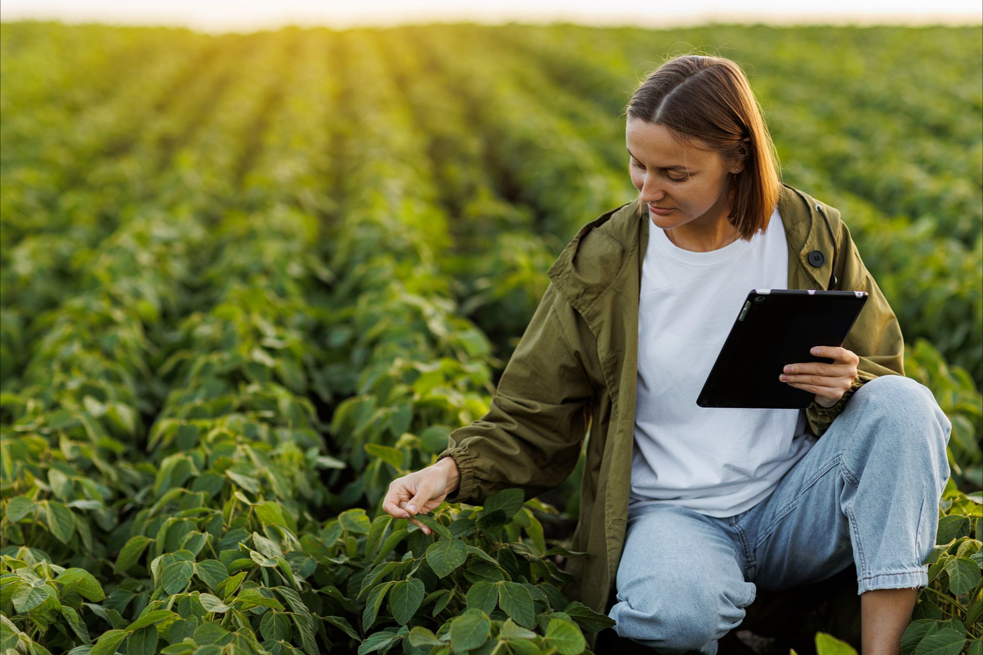
See how near-daily, high-resolution Planet imagery in FarmQA can help you spot field changes sooner, prioritize scouting, and make more informed in-season decisions.